How to find a plot's area without a cadastral number
If you have found a plot but do not have its cadastral number, you can start with a map estimate. What matters is knowing what is approximate, what is informational and what needs confirmation through official documents before paying a deposit or signing.
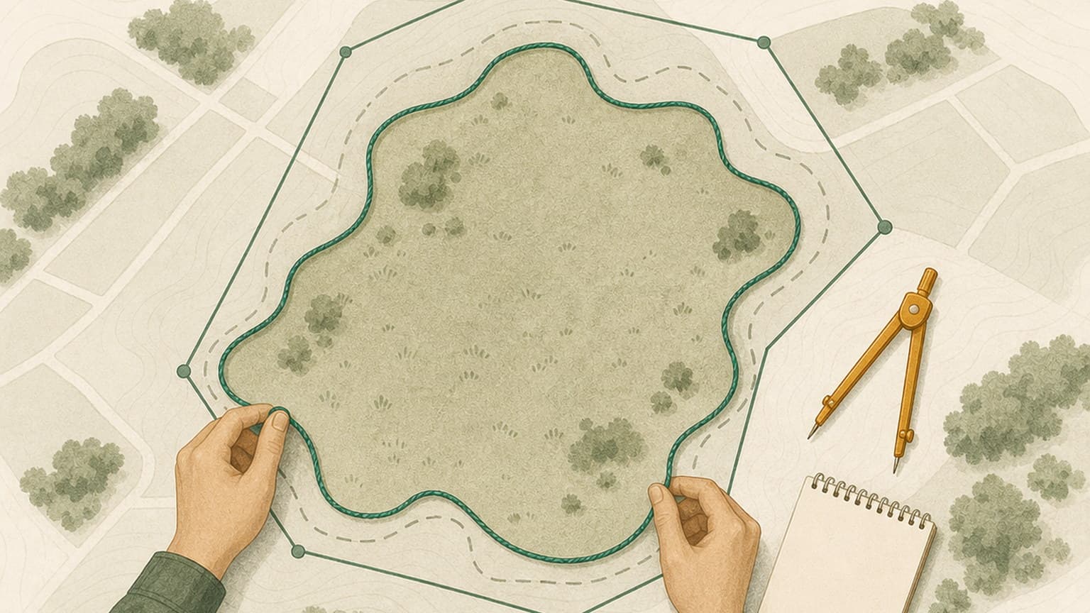
Without a cadastral number, you can obtain an estimate, not an official area.
The simplest starting point is to draw the approximate outline on the map and view its area/perimeter.
Manual means approximate; the outline on the ANCPI map is informational; official means an issued document.
If a deposit or preliminary contract is next, request the land register extract, cadastral documentation and specialist clarification.
What you can find out without a cadastral number
You can estimate the location and area for an initial check, but must distinguish between an indicative drawing, an ANCPI map and an official document.
Verifi helps you prepare the right questions and identify important warning signs. For complex legal situations, clarify the decision to sign with your notary or lawyer.
Without a cadastral number, start with an area, not an official boundary
A drawing on the map is useful for estimates and preliminary checks, but must not be confused with the land's legal boundary.
When money, a deposit or a sale promise is involved, request cadastral documentation, a land register extract or confirmation from specialists.
Quick answer
You can find a plot's approximate area without a cadastral number by locating it on the map and drawing its outline. This is useful for an initial discussion, orientation and preliminary area checks.
It is not the same as the official area. The official area comes from cadastral documents, the land register or measurements by authorised specialists. In Verifi, manual drawings are labelled approximate precisely so they are not confused with a legal boundary.
What you can find out without a cadastral number
Without the cadastral number, you can still find useful information. You can estimate where the land is, the area of the indicated zone, what surrounds it and whether obvious risk indicators appear: no access, proximity to water, a very narrow plot, industrial areas or differences between the seller's account and the map.
In practice, you can use the map for three questions:
- Approximately where is the land? Use the address, landmarks, access road, neighbours or position provided by the seller.
- What might its area be? Draw the outline and treat the area as a working estimate.
- Is it worth checking further? If the area looks relevant to a purchase, request the documents and continue with more thorough checks.
This stage is particularly useful when the property listing is vague, the land is hard to find on the map or the seller has not yet sent the documents. It does not replace documents, but helps you avoid starting completely blind.
The simple method: draw the plot on the map
For non-technical users, the simplest method is to start with the map and draw the approximate outline. On a desktop, you can mark points directly on the map. On a phone, Verifi uses a central marker: move the map beneath it and tap “Add point” for each corner.
- Find the locality, street or area where the land is located.
- Zoom in until you can distinguish useful landmarks.
- Tap “Draw the plot” or start the manual outline.
- Mark the plot's corners in order.
- Check the area and perimeter displayed by the tool.
- Correct or restart the drawing if the shape does not make sense.
Draw the approximate outline on the map. Verifi can use the indicated area for a preliminary check, without treating it as a legal boundary.
If the shape intersects itself or points are misplaced, the drawing should not be used as the final result. Redo the points, compare them with on-site landmarks and remember that you are working with an estimate.
How accurate is an area measured on a map?
A map measurement may be good enough for orientation, but is not cadastral confirmation. Accuracy depends on image quality, zoom level, how well you identify corners, the age of the data and differences between fences, actual use and documented boundaries.
Created by you. Useful for an estimate and a report on the indicated area.
ApproximateUseful for orientation and selection, but the map display remains informational.
InformationalExtract, cadastral plan or document issued through an official process.
OfficialThe safest wording is: “I estimated the area of the zone”. Avoid wording such as “I confirmed the plot's area” without cadastral documents.
When you need cadastral documentation, a land register extract or a specialist
An estimate is a good start, but some situations require a prompt move to documents and specialists. The greater the decision's impact, the less you should rely on a manual drawing.
- You are about to pay a deposit or sign a promise.
- The price is calculated strictly per square metre.
- Access depends on a narrow strip, a private road or neighbours.
- You intend to build, and every metre matters to the project.
- Visible fences, roads or buildings do not match what you were told.
- The land is outside the built-up area, agricultural, forest land or potentially subject to pre-emption.
In these cases, request the cadastral number, land register extract, relevant cadastral plan and, where doubts exist, the opinion of a cadastral surveyor, notary, lawyer or architect.
Checklist before proceeding
How Verifi helps
Verifi lets you start even without the cadastral number. You can select an outline from the map if you find it, or draw the approximate area. If you proceed with a manual drawing, the report treats the area as indicative input, not proof of ownership.
For land, checks should not stop at the area. Also consider access, planning, environment, flooding, pre-emption, surroundings and who is selling. Once you have an approximate area, the next step is therefore to clarify the risks and request the right documents.
Frequently asked questions
Can I measure land online for free?
Yes, you can measure an approximate area on the map. The result is useful as an estimate, but does not replace cadastral documents.
What should I do if the seller will not give me the cadastral number?
You can start with the approximate location, but for a serious transaction you should request the cadastral number, land register extract or other documents identifying the property. See also how to find the cadastral number from an address.
Can I order a Verifi report without a cadastral number?
Yes, a preliminary checking process can begin for a manually drawn area. The report will analyse the indicated area, but will not confirm legal boundaries or a cadastral number.
Are Stereo70 coordinates better than a manual drawing?
If they come from a cadastral document, coordinates can be much more precise than a manual drawing. For an ordinary buyer, however, drawing on the map is usually the simplest first step.
Start with an approximate area, then check the land.
Without a cadastral number, a manual drawing helps start the discussion. For the buying decision, use the report to see area risks and request official documents before committing.