Flood-prone areas: how to check flood risk before buying a property
A good price near water, on the edge of a city or in a low-lying area may conceal costs that appear only after the first heavy rain. Before buying land, a house or a flat, check whether the location falls within a flood-risk context and what that means for your decision.
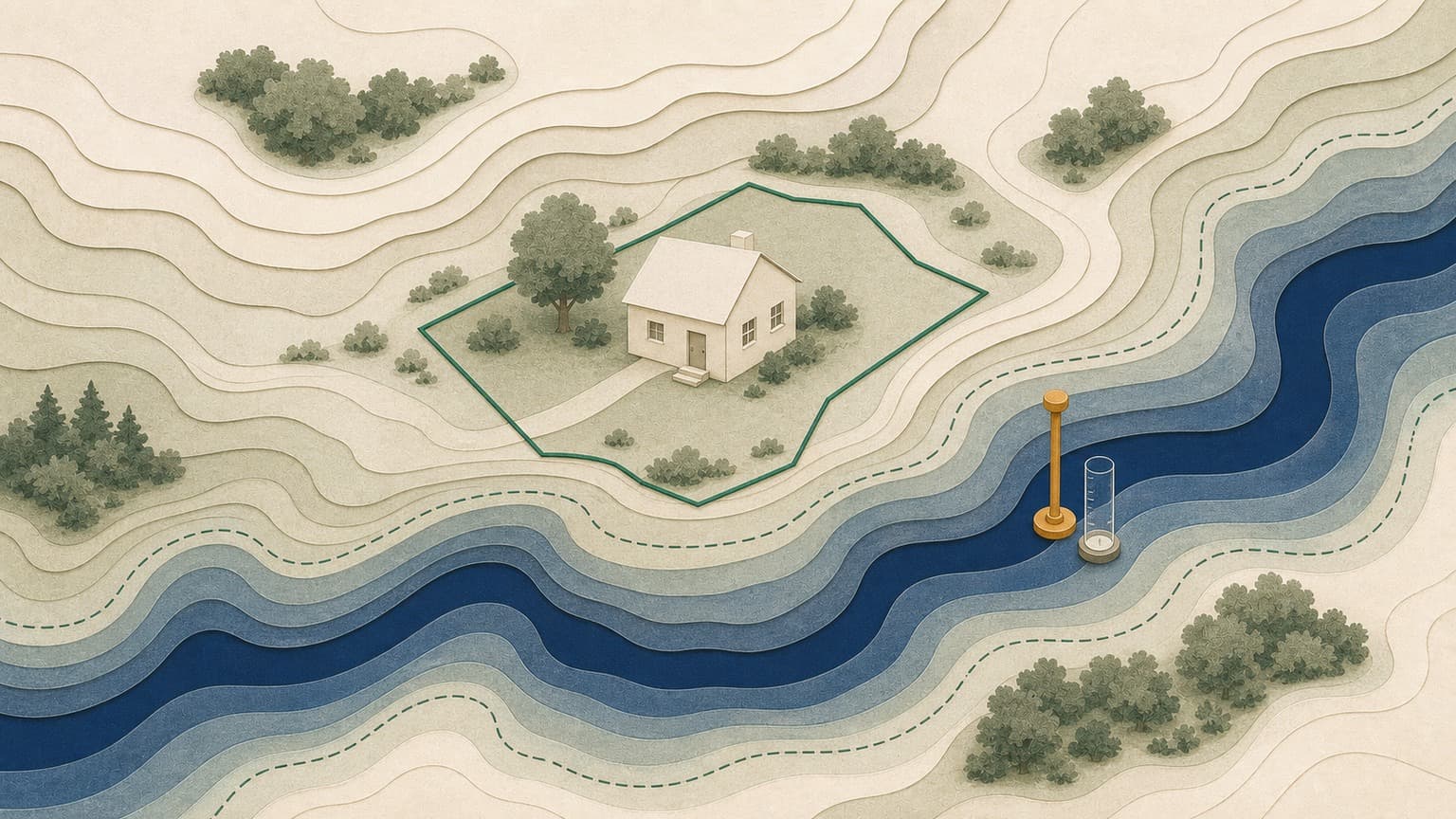
Flood-prone areas are not just a rural issue. Flooding can come from rivers, lakes, poor urban drainage, a high water table or rapid water accumulation after heavy rain.
A flood risk map is a screening tool. It helps you identify reasons for caution, but does not replace a hydrological or geotechnical study or a specialist's opinion.
For land and houses, the risk may affect permits, foundation costs, insurance, resale value and necessary protective works.
Verifi helps you start with a free Preview for basic indicators, then Standard or Complet when you need a documented report before the advance payment.
What to check about flood risk
Hazard maps provide a contextual warning: useful for questions, offers and decisions, but they must be read alongside local documents.
Verifi helps you prepare the right questions and identify important warning signs. For complex legal situations, clarify the decision to sign with your notary or lawyer.
Flood risk means a map, context and local checks
Public maps show the area's exposure, but a sound decision combines the data with conditions on the ground and local history.
For low-lying land or land near water, checks are worth making before negotiations.
- 0.1%, 1% and 10% - official annual probability scenarios in flood hazard maps (Directiva 2007/60/CE, PMRI/ANAR)
- ~33,500 km - watercourses covered by official maps (APSFR areas); the maps do not cover the entire territory (ANAR, inundatii.ro)
Why flood risk should be checked before the price
Flooding does not just mean water overflowing a riverbank. For a buyer, risk can also arise from poor rainwater drainage, repeatedly flooded basements, a high water table, undersized drainage channels, missing drainage works or new developments that change how water collects in the area.
That is why searches such as flood-prone areas in Romania are useful starting points, but not enough for a property decision. The practical question is more precise: does the plot, building or street where you plan to buy have risk indicators worth investigating before the advance payment?
What a flood-prone area means
A flood-prone area is an area where water may reach the land under certain flood, heavy rainfall or local accumulation scenarios. Hazard and risk maps usually work with probabilistic scenarios, not firm promises about what will happen in the next storm.
Three distinctions matter for the buyer:
- Hazard describes the possibility of water reaching an area under certain conditions.
- Risk combines hazard with exposure: buildings, people, roads, utilities, basements and economic value.
- Local history shows whether the problem also occurs in practice: flooded yards, affected cellars, blocked roads or inadequate sewerage works.
Flood-prone land may be usable under certain conditions, but requires greater caution: foundation levels, drainage solutions, approvals, adapted design and discussions with specialists. A house in a flood-prone area may need additional checks of the basement, installations, finishes, insurance and repair history.
How to check flood risk step by step
Do not start with a single source or stop at a single colour on the map. A thorough check combines the property's position, documents, the area's history and on-site observations.
Locate the property precisely. Search for the address or select the plot on the map. For land, the difference between a plot and its neighbour can matter if the terrain, ditches or access differ.
Look at the risk context. Check whether the property appears in an area with flood-risk indicators or near rivers, lakes, canals, valleys, low-lying areas or bodies of water.
Compare with the ground conditions. Look for water marks on fences, basements, blocked drainage channels, artificially raised yards, pumps, drains or recent repairs to the plinth.
Request documents and explanations. Ask about the urban planning certificate, approvals, geotechnical studies, flooding history and protective works carried out.
Verifi can reduce screening time: the free Preview shows preliminary indicators, while Standard or Complet place the context alongside the property's data, helping you decide whether more detailed technical checks are worthwhile.
Start with the free Preview on the Verifi map for basic indicators, then move to Standard or Complet if the property remains on your shortlist.
Flood-prone areas in București and Ilfov: what to check around the city
Searches for flood-prone areas in București and flood-prone areas in Ilfov are common because property development pressure is high around the capital. Many plots are near lakes, rivers, canals, former agricultural areas or new neighbourhoods where rainwater infrastructure has not always kept pace with development.
In București, risk is not just a major flood. For a ground-floor or semi-basement flat, stormwater drainage, street gradients, the building's basement and a history of sewer backflow may matter. For a house, the yard's level relative to the road, drainage, neighbouring developments on higher ground and the way water is discharged matter.
In Ilfov, the question becomes even more specific for land: is it near a watercourse, lake, canal or low-lying area? Is there a public road usable in every season? Can you build without costly fill, drainage or raising of ground levels? A vague answer such as it has never flooded must be checked through documents, neighbours and direct observation.
Land, house or flat: risk is read differently
Flood-prone land
For land, the risk concerns what you can build and how much it costs to make the site usable. Flood-prone land may require studies, special levels, drainage, fill, approvals or building restrictions. Here, Verifi Complet is usually more suitable than a basic check, because the risk concerns environment, planning, access and context, not just the land register.
House in a flood-prone area
For a house, check the basement, semi-basement, foundations, yard, garage, outbuildings and installations. Ask whether there have been repairs after flooding and whether there are drainage pumps, drains or mould problems. A house in a flood-prone area is not automatically ruled out, but should be bought with all costs visible.
Flat
For a flat, the risk is greater for ground floors, semi-basements, storage units, underground parking and technical rooms. Even if the home is on an upper floor, basement flooding can affect lifts, installations, building access, owners' association costs and living comfort.
Questions to ask before the promise to sell
If the property has a flood-risk context, ask questions before committing money. Answers need to be specific, not merely reassuring.
How to use Verifi: free Preview, Standard or Complet
Free Preview is suitable for initial screening: see quickly whether the property is worth keeping on your shortlist or whether indicators appear that require further questions at the viewing.
Verifi Standard is a good choice for a basic report on a flat or house: property identification, the main context and checks that help you avoid reading risk in isolation.
Verifi Complet is recommended for land, houses in flood-prone areas, purchases in București or Ilfov where the area's context matters, or transactions where you need to consider natural risks alongside seller checks and other relevant indicators.
Verifi does not replace the notary, lawyer, architect, geotechnical engineer or hydrological design. The report's role is to show you early where it is worth asking questions, requesting documents and negotiating with the facts before the advance payment.
Frequently asked questions
How do I find out whether a house is in a flood-prone area?
Locate the property precisely on the map and check whether it appears in an area with flood-risk indicators or near rivers, lakes, canals, valleys or low-lying areas. Then compare this with the ground conditions: water marks on fences, basements, blocked drainage channels, pumps, drains or recent repairs to the plinth. Request documents too: an urban planning certificate, approvals, geotechnical studies and flooding history.
Can I buy flood-prone land?
Flood-prone land may be usable under certain conditions, but requires greater caution: foundation levels, drainage solutions, fill, approvals, adapted design and discussions with specialists. The risk concerns what you can build and how much it costs to make the site usable, so the budget must include these works.
Is flooding a problem only near rivers?
No. Risk can also arise from poor rainwater drainage, repeatedly flooded basements, a high water table, undersized drainage channels, missing drainage works or new developments that change how water collects in the area. Flood-prone areas are not just a rural issue.
Does flood risk still matter if the flat is on an upper floor?
Yes. The risk is greater for ground floors, semi-basements, storage units, underground parking and technical rooms, but even if the home is on an upper floor, basement flooding can affect lifts, installations, building access, owners' association costs and living comfort.
Does a flood risk map tell me for certain whether flooding will occur?
No. Hazard and risk maps work with probabilistic scenarios, not firm promises about what will happen in the next storm. A risk map is a screening tool: it helps you identify reasons for caution, but does not replace a hydrological or geotechnical study or a specialist's opinion.
Check the property in context, not just in the listing.
For an initial overview, use the free Preview. For flats or houses where you need a basic report, choose Verifi Standard. For land, houses in flood-prone areas or transactions where the environment, seller and natural risks matter, Verifi Complet is the appropriate route.
Check on Verifi